


Description
DJI Mavic 3 Multispectral
Nationwide Free Shipping
In the Box
1x Mavic 3M Drone (RTK Module and MicroSD Card Installed)
1x Remote Controller
1x Carrying Case
1x Intelligent Flight Battery
1x Charger
3x Propellers (Pair)
1x Power Cable
1x USB-C Cable
1x USB-C to USB-C Cable
---
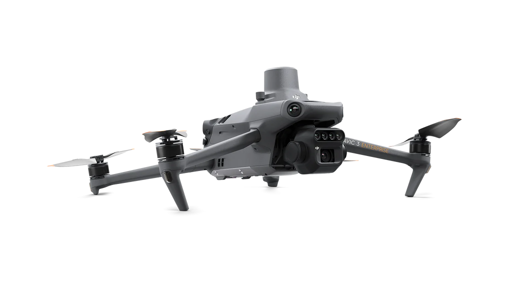
DJI Mavic 3 Multispectral, also known as DJI Mavic 3M or DJI M3M, has replaced the Phantom 4 Multispectral for multispectral and NDVI mapping.
The combination of the Mavic 3 Multispectral with a DJI Agras drone will increase the spraying precision and makes the prescription spraying mission possible. The prescription spraying missions allow Agras users to spray a larger dosage on the affected areas with a lower NDVI index and spray less amount on the healthy part of a field that has a higher NDVI index. This is all possible with the help of the DJI Mavic 3 Multispectral drone.
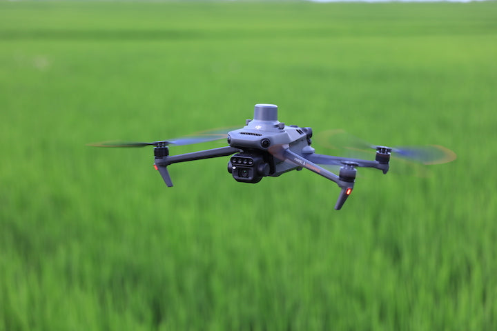
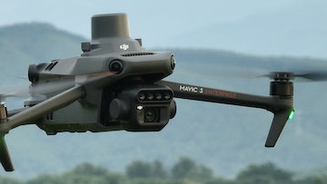
Effective aerial surveying needs to see the invisible. That's why Mavic 3 Multispectral has two forms of sight. It combines an RGB camera with a multispectral camera to scan and analyze crop growth with total clarity. Agricultural production management requires precision and data, and Mavic 3M delivers both.
Multispectral + RGB imaging system
The highly integrated imaging system
Newly upgraded imaging system with one 20MP RGB camera and four 5MP multispectral cameras (green, red, red edge, and near-infrared). Enables applications such as high-precision aerial surveying, crop growth monitoring, and natural resource surveys.
Sunlight Sensor
The built-in sunlight sensor captures solar irradiance and records it in an image file, allowing for light compensation of image data during 2D reconstruction. This results in more accurate NDVI results, as well as improved accuracy and consistency of data acquired over time.
RTK module
Accurate images that capture every pixel
Mavic 3M with RTK module for centimeter-level positioning. Flight control, the camera, and the RTK module sync in microseconds to accurately capture the location of each camera's imaging center. This enables Mavic 3M to do high-precision aerial surveying without using ground control points.
Efficient and reliable battery life
Ultra-long battery life, fast bursts of 43 minutes*, Cruise time 200 hectares**. A single flight can complete mapping operations over an area of 200 hectares.
Stable signal, smooth image transmission
The O3 transmission integrates two transmitting signals and four receiving signals to support 15km ultra-long transmission distances.
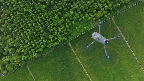
Omnidirectional obstacle sensing, terrain-follow aerial surveying
The aircraft features multiple wide-FOV vision sensors that accurately detect obstacles in all directions for omnidirectional obstacle avoidance. The terrain-follow aerial surveying can be easily performed in steep-slope landscapes.
*Specific test conditions: In a sunny environment without wind, the orthographic flight aerial photography is obtained with a flight speed of 15 m/s, a flight altitude of 217 m, a ground sampling distance (GSD) of 5.73 cm for visible and 10 cm for multispectral, a fore-and-aft overlap rate of 70%, and a side overlap rate of 60%.
**Data was measured using a DJI Mavic 3M flying at a constant speed of 36 kph at sea level in a windless environment until 0% power remaining. It is for reference only. Please pay attention to Return to Home prompts on the DJI Pilot 2 app during the flight.
Payment & Security
Your payment information is processed securely. We do not store credit card details nor have access to your credit card information.